
Hayward topographic map
Interactive map
Click on the map to display elevation.
About this map
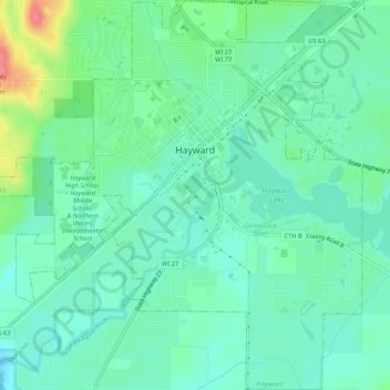
Name: Hayward topographic map, elevation, terrain.
Location: Hayward, Sawyer County, Wisconsin, USA (45.99032 -91.51435 46.02703 -91.46219)
Average elevation: 367 m
Minimum elevation: 348 m
Maximum elevation: 418 m