
Manitou topographic map
Interactive map
Click on the map to display elevation.
About this map
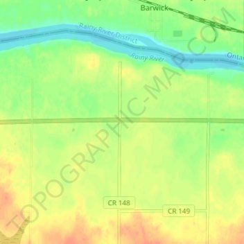
Name: Manitou topographic map, elevation, terrain.
Location: Manitou, Koochiching County, Minnesota, USA (48.60829 -94.01295 48.64829 -93.97295)
Average elevation: 341 m
Minimum elevation: 322 m
Maximum elevation: 357 m