
Figueres topographic map
Interactive map
Click on the map to display elevation.
About this map
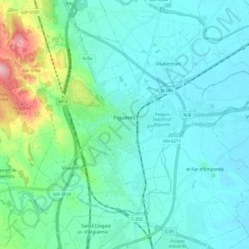
Name: Figueres topographic map, elevation, terrain.
Location: Figueres, Upper Empordà, Girona, Catalonia, 17600, Spain (42.23791 2.92936 42.29104 3.02979)
Average elevation: 47 m
Minimum elevation: 10 m
Maximum elevation: 209 m