
Soja topographic map
Interactive map
Click on the map to display elevation.
About this map
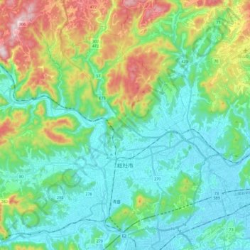
Name: Soja topographic map, elevation, terrain.
Location: Soja, Okayama Prefecture, Japan (34.62230 133.58182 34.78160 133.80494)
Average elevation: 140 m
Minimum elevation: 0 m
Maximum elevation: 536 m