
Grand Marais topographic map
Interactive map
Click on the map to display elevation.
About this map
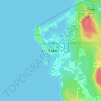
Name: Grand Marais topographic map, elevation, terrain.
Location: Grand Marais, St. Clements, Manitoba, R0E 0T0, Canada (50.50176 -96.65748 50.58176 -96.57748)
Average elevation: 222 m
Minimum elevation: 215 m
Maximum elevation: 274 m