
Lake View topographic map
Interactive map
Click on the map to display elevation.
About this map
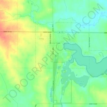
Name: Lake View topographic map, elevation, terrain.
Location: Lake View, Sac County, Iowa, 51450, United States (42.28981 -95.06217 42.31545 -95.00374)
Average elevation: 382 m
Minimum elevation: 360 m
Maximum elevation: 413 m