
Chamelecón River topographic map
Interactive map
Click on the map to display elevation.
About this map
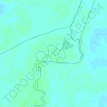
Name: Chamelecón River topographic map, elevation, terrain.
Location: Chamelecón River, Choloma, Cortés, Honduras (15.72250 -87.87539 15.72708 -87.86744)
Average elevation: 6 m
Minimum elevation: 3 m
Maximum elevation: 10 m