
Üllő topographic map
Interactive map
Click on the map to display elevation.
About this map
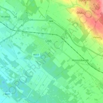
Name: Üllő topographic map, elevation, terrain.
Location: Üllő, Vecsési járás, Komitat Pest, Mittelungarn, 2225, Ungarn (47.32775 19.27875 47.42211 19.40517)
Average elevation: 129 m
Minimum elevation: 109 m
Maximum elevation: 189 m