
Casere topographic map
Interactive map
Click on the map to display elevation.
About this map
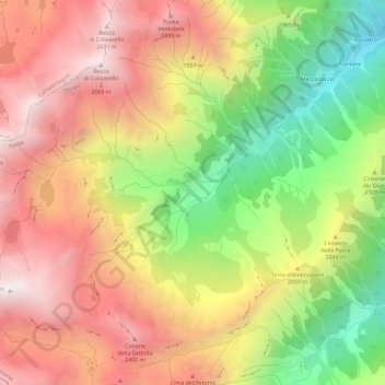
Name: Casere topographic map, elevation, terrain.
Location: Casere, VC, Piemont, Italy (45.73132 7.94127 45.77132 7.98127)
Average elevation: 1,964 m
Minimum elevation: 1,141 m
Maximum elevation: 2,676 m