
D 13a topographic map
Interactive map
Click on the map to display elevation.
About this map
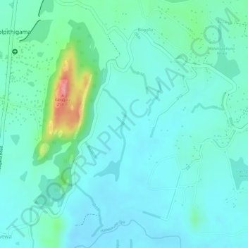
Name: D 13a topographic map, elevation, terrain.
Average elevation: 134 m
Minimum elevation: 111 m
Maximum elevation: 218 m
Other topographic maps
Click on a map to view its topography, its elevation and its terrain.
D 12
Sri Lanka > North Western Province > Kurunegala
D 12, Kurunegala, Kurunegala District, North Western Province, Sri Lanka
Average elevation: 138 m