
Rock Springs topographic map
Interactive map
Click on the map to display elevation.
About this map
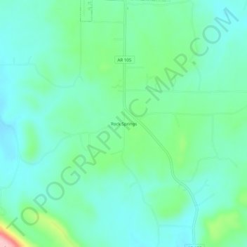
Name: Rock Springs topographic map, elevation, terrain.
Location: Rock Springs, Pope County, Arkansas, 72801:72843, USA (35.41008 -92.99517 35.45008 -92.95517)
Average elevation: 218 m
Minimum elevation: 178 m
Maximum elevation: 352 m