
Nevado Sajama topographic map
Interactive map
Click on the map to display elevation.
About this map
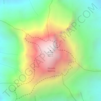
Name: Nevado Sajama topographic map, elevation, terrain.
Average elevation: 5,801 m
Minimum elevation: 5,253 m
Maximum elevation: 6,551 m
The mountain is covered by an ice cap, and Polylepis tarapacana trees occur up to 5,000 metres (16,000 ft) elevation.