
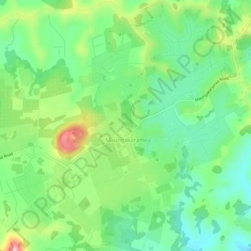
Maungakaramea topographic map
Interactive map
Click on the map to display elevation.
About this map
Name: Maungakaramea topographic map, elevation, terrain.
Location: Maungakaramea, Whangarei District, Northland, New Zealand (-35.86234 174.18340 -35.82234 174.22340)
Average elevation: 114 m
Minimum elevation: 46 m
Maximum elevation: 243 m