
Sonamarg topographic map
Interactive map
Click on the map to display elevation.
About this map
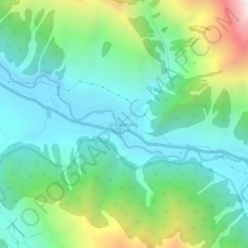
Name: Sonamarg topographic map, elevation, terrain.
Location: Sonamarg, Kangan, Ganderbal district, Jammu and Kashmir, India (34.28239 75.27656 34.32239 75.31656)
Average elevation: 3,068 m
Minimum elevation: 2,639 m
Maximum elevation: 4,240 m