
Saint-Nizier-du-Moucherotte topographic map
Interactive map
Click on the map to display elevation.
About this map
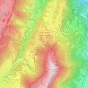
Name: Saint-Nizier-du-Moucherotte topographic map, elevation, terrain.
Average elevation: 1,061 m
Minimum elevation: 209 m
Maximum elevation: 1,889 m