
Kongo topographic map
Interactive map
Click on the map to display elevation.
About this map
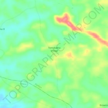
Name: Kongo topographic map, elevation, terrain.
Location: Kongo, Porkpa, Grand Cape Mount County, Liberia (7.08282 -11.29480 7.12282 -11.25480)
Average elevation: 50 m
Minimum elevation: 16 m
Maximum elevation: 110 m