
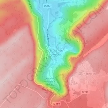
Les Planches-près-Arbois topographic map
Interactive map
Click on the map to display elevation.
About this map
Name: Les Planches-près-Arbois topographic map, elevation, terrain.
Average elevation: 495 m
Minimum elevation: 317 m
Maximum elevation: 589 m