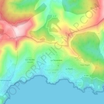
Rayol-Canadel-sur-Mer topographic map
Interactive map
Click on the map to display elevation.
About this map
Name: Rayol-Canadel-sur-Mer topographic map, elevation, terrain.
Average elevation: 158 m
Minimum elevation: 0 m
Maximum elevation: 477 m

Click on the map to display elevation.
Name: Rayol-Canadel-sur-Mer topographic map, elevation, terrain.
Average elevation: 158 m
Minimum elevation: 0 m
Maximum elevation: 477 m