
Waterville topographic map
Interactive map
Click on the map to display elevation.
About this map
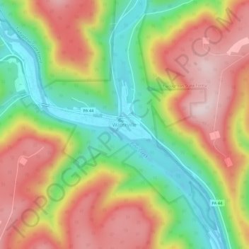
Name: Waterville topographic map, elevation, terrain.
Location: Waterville, Lycoming County, Pennsylvania, USA (41.28851 -77.38201 41.32851 -77.34201)
Average elevation: 390 m
Minimum elevation: 173 m
Maximum elevation: 616 m