
Riudaura topographic map
Interactive map
Click on the map to display elevation.
About this map
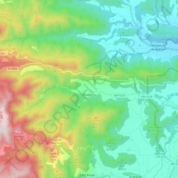
Name: Riudaura topographic map, elevation, terrain.
Location: Riudaura, Garrotxa, Girona, Catalonia, Spain (42.16680 2.33219 42.21582 2.44682)
Average elevation: 693 m
Minimum elevation: 346 m
Maximum elevation: 1,439 m