
Emmerich on the Rhine topographic map
Interactive map
Click on the map to display elevation.
About this map
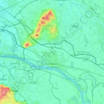
Name: Emmerich on the Rhine topographic map, elevation, terrain.
Average elevation: 18 m
Minimum elevation: 7 m
Maximum elevation: 100 m
Other topographic maps
Click on a map to view its topography, its elevation and its terrain.
Rhine
Germany > North Rhine-Westphalia > Emmerich on the Rhine
Rhine, Runde Straße, Emmerich on the Rhine, Kreis Kleve, Regierungsbezirk Düsseldorf, North Rhine-Westphalia, 46446, Germany
Average elevation: 14 m