
Amber Valley topographic map
Interactive map
Click on the map to display elevation.
About this map
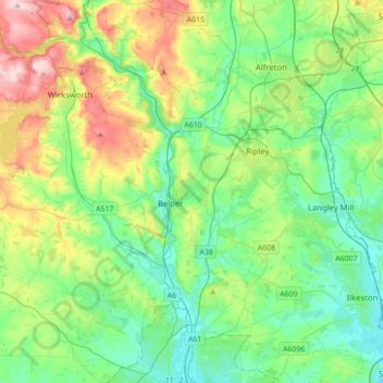
Name: Amber Valley topographic map, elevation, terrain.
Average elevation: 133 m
Minimum elevation: 41 m
Maximum elevation: 367 m
Other topographic maps
Click on a map to view its topography, its elevation and its terrain.
Duffield
United Kingdom > England > Amber Valley
Duffield, Amber Valley, Derbyshire, East Midlands, England, United Kingdom
Average elevation: 91 m