
Lomax topographic map
Interactive map
Click on the map to display elevation.
About this map
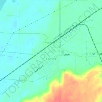
Name: Lomax topographic map, elevation, terrain.
Location: Lomax, Henderson County, Illinois, United States (40.67270 -91.09450 40.68922 -91.05807)
Average elevation: 172 m
Minimum elevation: 156 m
Maximum elevation: 213 m
Other topographic maps
Click on a map to view its topography, its elevation and its terrain.
Riverview Access Area
United States > Illinois > Henderson County
Riverview Access Area, Henderson County, Illinois, United States
Average elevation: 171 m