
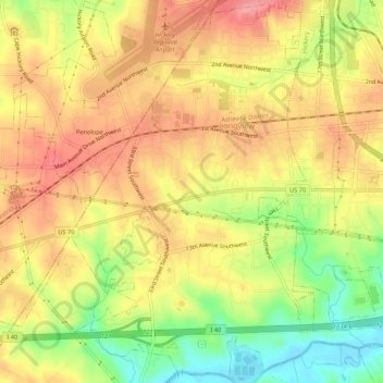
Long View topographic map
Interactive map
Click on the map to display elevation.
About this map
Name: Long View topographic map, elevation, terrain.
Location: Long View, Catawba County, North Carolina, United States (35.70108 -81.41043 35.74327 -81.35697)
Average elevation: 328 m
Minimum elevation: 266 m
Maximum elevation: 374 m