
San Lorenzo topographic map
Interactive map
Click on the map to display elevation.
About this map
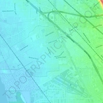
Name: San Lorenzo topographic map, elevation, terrain.
Location: San Lorenzo, Alameda County, California, United States (37.66126 -122.16385 37.68585 -122.10736)
Average elevation: 8 m
Minimum elevation: -3 m
Maximum elevation: 44 m