
George Mason topographic map
Interactive map
Click on the map to display elevation.
About this map
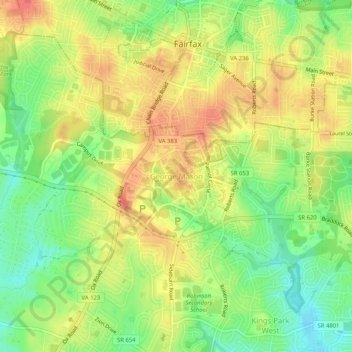
Name: George Mason topographic map, elevation, terrain.
Location: George Mason, Fairfax County, Virginia, 22030, United States (38.81204 -77.34593 38.85204 -77.30593)
Average elevation: 124 m
Minimum elevation: 88 m
Maximum elevation: 149 m