
Na Di topographic map
Interactive map
Click on the map to display elevation.
About this map
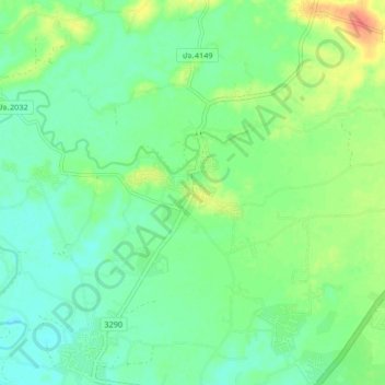
Name: Na Di topographic map, elevation, terrain.
Location: Na Di, Prachin Buri Province, Thailand (14.07421 101.74791 14.15421 101.82791)
Average elevation: 25 m
Minimum elevation: 10 m
Maximum elevation: 54 m