
Péni topographic map
Interactive map
Click on the map to display elevation.
About this map
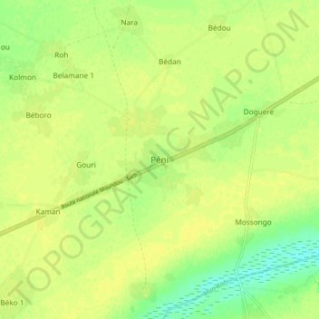
Name: Péni topographic map, elevation, terrain.
Location: Péni, Mandoul, Chad (8.74822 17.26124 8.82822 17.34124)
Average elevation: 382 m
Minimum elevation: 370 m
Maximum elevation: 386 m