
Elbow Valley topographic map
Interactive map
Click on the map to display elevation.
About this map
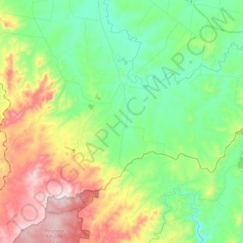
Name: Elbow Valley topographic map, elevation, terrain.
Average elevation: 602 m
Minimum elevation: 414 m
Maximum elevation: 946 m
Other topographic maps
Click on a map to view its topography, its elevation and its terrain.
Elbow Valley
Australia > Queensland > Elbow Valley
Elbow Valley, Queensland, Australia
Average elevation: 503 m