
Hillard topographic map
Interactive map
Click on the map to display elevation.
About this map
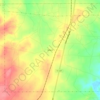
Name: Hillard topographic map, elevation, terrain.
Location: Hillard, Carson County, Texas, United States (35.58588 -101.43211 35.62588 -101.39211)
Average elevation: 978 m
Minimum elevation: 928 m
Maximum elevation: 1,017 m