
Rosemount topographic map
Interactive map
Click on the map to display elevation.
About this map
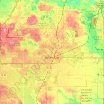
Name: Rosemount topographic map, elevation, terrain.
Location: Rosemount, Dakota County, Minnesota, 55068, United States (44.71680 -93.15854 44.77575 -92.97422)
Average elevation: 287 m
Minimum elevation: 235 m
Maximum elevation: 328 m