
Richibucto-Village topographic map
Interactive map
Click on the map to display elevation.
About this map
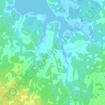
Name: Richibucto-Village topographic map, elevation, terrain.
Average elevation: 6 m
Minimum elevation: -5 m
Maximum elevation: 22 m
Other topographic maps
Click on a map to view its topography, its elevation and its terrain.
Petit-Chockpish
Canada > New Brunswick > Richibucto Parish
Petit-Chockpish, Richibucto Parish, Kent County, New Brunswick, Canada
Average elevation: 10 m