
Reed Lake topographic map
Interactive map
Click on the map to display elevation.
About this map
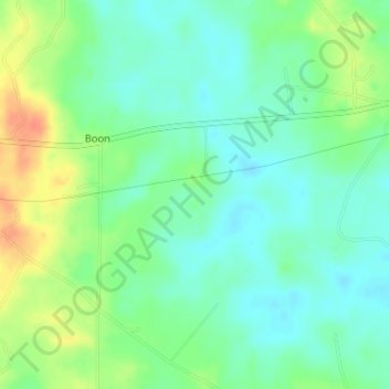
Name: Reed Lake topographic map, elevation, terrain.
Location: Reed Lake, Winston County, Mississippi, United States (33.09674 -88.94844 33.09684 -88.94834)
Average elevation: 147 m
Minimum elevation: 131 m
Maximum elevation: 176 m