
Spring Lake topographic map
Interactive map
Click on the map to display elevation.
About this map
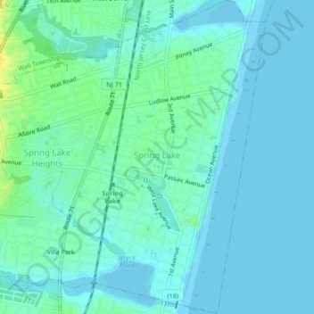
Name: Spring Lake topographic map, elevation, terrain.
Location: Spring Lake, Monmouth County, New Jersey, United States (40.13751 -74.03768 40.16909 -74.01508)
Average elevation: 5 m
Minimum elevation: -2 m
Maximum elevation: 21 m