
Newdale topographic map
Interactive map
Click on the map to display elevation.
About this map
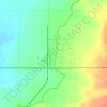
Name: Newdale topographic map, elevation, terrain.
Location: Newdale, Fremont County, Idaho, 83436, United States (43.88321 -111.60802 43.89051 -111.59891)
Average elevation: 1,550 m
Minimum elevation: 1,531 m
Maximum elevation: 1,577 m
Newdale is the nearest city to the Teton Dam, which failed on June 5, 1976. Newdale did not receive any flooding or damage, due to its elevation and position relative to the dam.