
Zilwaukee topographic map
Interactive map
Click on the map to display elevation.
About this map
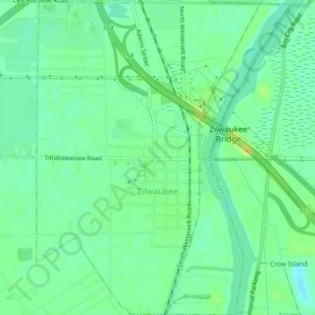
Name: Zilwaukee topographic map, elevation, terrain.
Location: Zilwaukee, Saginaw County, Michigan, United States (43.46501 -83.93595 43.49402 -83.90369)
Average elevation: 180 m
Minimum elevation: 170 m
Maximum elevation: 195 m