
Wasa topographic map
Interactive map
Click on the map to display elevation.
About this map
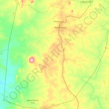
Name: Wasa topographic map, elevation, terrain.
Location: Wasa, Sanga, Kaduna State, Nigeria (9.03615 8.06165 9.23855 8.25845)
Average elevation: 457 m
Minimum elevation: 329 m
Maximum elevation: 644 m