
Alamata topographic map
Interactive map
Click on the map to display elevation.
About this map
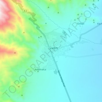
Name: Alamata topographic map, elevation, terrain.
Location: Alamata, Southern Tigray, Tigray, Ethiopia (12.37568 39.51808 12.45568 39.59808)
Average elevation: 1,685 m
Minimum elevation: 1,458 m
Maximum elevation: 2,701 m