
Calmar topographic map
Interactive map
Click on the map to display elevation.
About this map
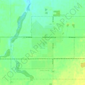
Name: Calmar topographic map, elevation, terrain.
Location: Calmar, Alberta, Canada (53.25410 -113.82966 53.27222 -113.78071)
Average elevation: 729 m
Minimum elevation: 718 m
Maximum elevation: 740 m