
Evansville topographic map
Interactive map
Click on the map to display elevation.
About this map
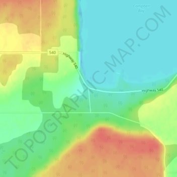
Name: Evansville topographic map, elevation, terrain.
Average elevation: 193 m
Minimum elevation: 172 m
Maximum elevation: 221 m
Other topographic maps
Click on a map to view its topography, its elevation and its terrain.
Burpee
Canada > Ontario > Manitoulin District > Burpee and Mills Township
Burpee, Burpee and Mills Township, Manitoulin District, Northeastern Ontario, Ontario, Canada
Average elevation: 199 m