
Rat River topographic map
Interactive map
Click on the map to display elevation.
About this map
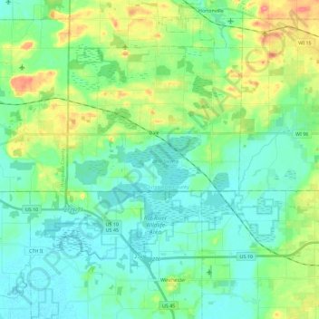
Name: Rat River topographic map, elevation, terrain.
Average elevation: 247 m
Minimum elevation: 227 m
Maximum elevation: 304 m
Other topographic maps
Click on a map to view its topography, its elevation and its terrain.
Neenah
United States > Wisconsin > Winnebago County
Neenah, Winnebago County, Wisconsin, 54956, United States
Average elevation: 230 m