
Urayasu topographic map
Interactive map
Click on the map to display elevation.
About this map
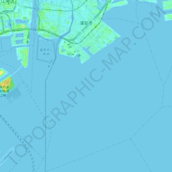
Name: Urayasu topographic map, elevation, terrain.
Location: Urayasu, Chiba Prefecture, Japan (35.54111 139.85643 35.67274 139.98588)
Average elevation: 1 m
Minimum elevation: -5 m
Maximum elevation: 39 m