
Athens topographic map
Interactive map
Click on the map to display elevation.
About this map
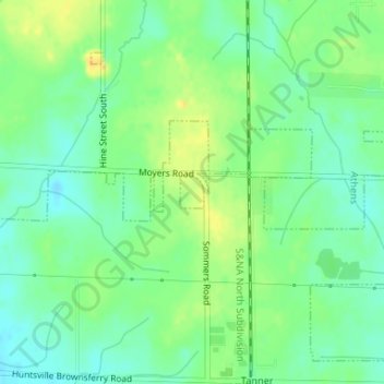
Name: Athens topographic map, elevation, terrain.
Location: Athens, Limestone County, Alabama, United States (34.74360 -86.97715 34.74591 -86.97514)
Average elevation: 204 m
Minimum elevation: 192 m
Maximum elevation: 220 m