
Fort Mill topographic map
Interactive map
Click on the map to display elevation.
About this map
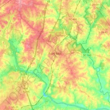
Name: Fort Mill topographic map, elevation, terrain.
Location: Fort Mill, York County, South Carolina, United States (34.94577 -80.98052 35.06615 -80.89695)
Average elevation: 179 m
Minimum elevation: 133 m
Maximum elevation: 222 m