
Langton topographic map
Interactive map
Click on the map to display elevation.
About this map
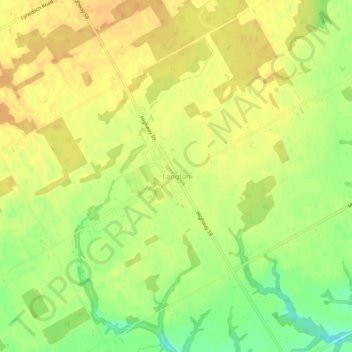
Name: Langton topographic map, elevation, terrain.
Average elevation: 228 m
Minimum elevation: 207 m
Maximum elevation: 238 m
Other topographic maps
Click on a map to view its topography, its elevation and its terrain.
Deer Creek
Canada > Ontario > Norfolk County > Langton
Deer Creek, Langton, Norfolk County, Southwestern Ontario, Ontario, Canada
Average elevation: 226 m