
Gander Bay topographic map
Interactive map
Click on the map to display elevation.
About this map
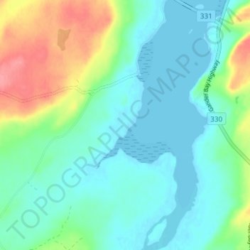
Name: Gander Bay topographic map, elevation, terrain.
Location: Gander Bay, Newfoundland, Newfoundland and Labrador, Canada (49.24818 -54.52865 49.28818 -54.48865)
Average elevation: 20 m
Minimum elevation: -1 m
Maximum elevation: 74 m