
Emerald Isle topographic map
Interactive map
Click on the map to display elevation.
About this map
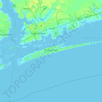
Name: Emerald Isle topographic map, elevation, terrain.
Location: Emerald Isle, Carteret County, North Carolina, 28594, USA (34.64327 -77.10241 34.68434 -76.91038)
Average elevation: 1 m
Minimum elevation: -3 m
Maximum elevation: 15 m