
Cape Split topographic map
Interactive map
Click on the map to display elevation.
About this map
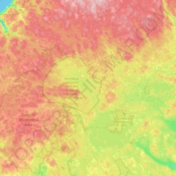
Name: Cape Split topographic map, elevation, terrain.
Average elevation: 130 m
Minimum elevation: -1 m
Maximum elevation: 266 m
Other topographic maps
Click on a map to view its topography, its elevation and its terrain.
Mersey River
Canada > Nova Scotia > Queens County > Kejimkujik National Park of Canada
Mersey River, Kejimkujik National Park of Canada, Region of Queens Municipality, Queens County, Nova Scotia, B0T 1N0, Canada
Average elevation: 93 m