
Welland River topographic map
Interactive map
Click on the map to display elevation.
About this map
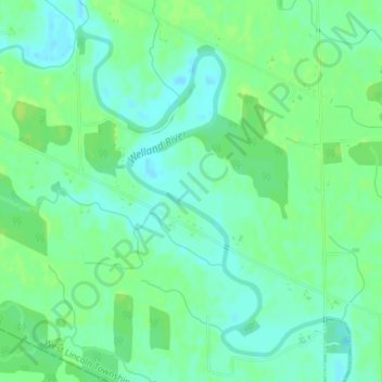
Name: Welland River topographic map, elevation, terrain.
Location: Welland River, West Lincoln, Niagara Region, Ontario, Canada (42.99910 -79.60745 43.02224 -79.58301)
Average elevation: 181 m
Minimum elevation: 174 m
Maximum elevation: 186 m
Other topographic maps
Click on a map to view its topography, its elevation and its terrain.
West Lincoln
Canada > Ontario > West Lincoln
West Lincoln, Niagara Region, Golden Horseshoe, Ontario, Canada
Average elevation: 179 m