
Linn County topographic map
Interactive map
Click on the map to display elevation.
About this map
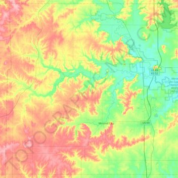
Name: Linn County topographic map, elevation, terrain.
Location: Linn County, Kansas, United States (38.03679 -95.07788 38.38963 -94.61249)
Average elevation: 283 m
Minimum elevation: 235 m
Maximum elevation: 343 m